Day 1 Outlook Day 2 Outlook Day 3 Outlook Days 4-8 Outlook

Day 3 Outlook 0830Z Probablistic 0830Z
Current Day 3 Outlook 0730z
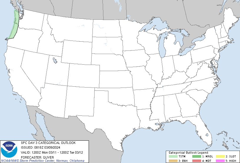
Categorical Day3 0830Z Outlook
  

Images courtesy of the NWS Storm Prediction Center
 Forecast Discussion

    
000
ACUS03 KWNS 300720
SWODY3
SPC AC 300719

Day 3 Convective Outlook  
NWS Storm Prediction Center Norman OK
0219 AM CDT Thu Mar 30 2023

Valid 011200Z - 021200Z

...THERE IS A MARGINAL RISK OF SEVERE THUNDERSTORMS ACROSS PORTIONS
OF THE SOUTHEAST AND FROM EASTERN OHIO INTO WESTERN NEW YORK...

...SUMMARY...
Strong, isolated severe thunderstorms may produce damaging gusts
across parts of eastern Ohio into western New York Saturday morning
and early afternoon. Additional strong to severe thunderstorms
producing strong gusts and a tornado or two are possible across
parts of the Southeast and eastern Carolinas through the afternoon.

...Synopsis...

An intense upper low and attendant trough will be located over the
upper Great Lakes/Midwest Saturday morning. Intense deep-layer
southwesterly flow will spread eastward from the Ohio Valley into
the lower Great Lakes during the morning and shift east, moving
offshore the Mid-Atlantic and Northeast coasts by 00z. A deep
surface low centered over northern Lower MI/southern Ontario will
shift northeast through the period, sweeping a cold front eastward
across the Ohio/TN Valleys during the morning and moving offshore
the Atlantic and Gulf coasts during by late afternoon into the
evening. 

...Eastern OH into Western NY...

A band of precipitation and thunderstorms will be ongoing Saturday
morning from central/eastern NY southwestward along the
Appalachians. Clearing behind these showers is expected through the
morning. As the upper low/trough impinges on the area, steepening
mid and low-level lapse rates are expected amid strong deep-layer
southwesterly flow. Boundary-layer mixing to around 850 mb is
forecast, with winds at that level near 50 kt. While surface
dewpoints will likely only be in the mid 40s to low 50s, steep
midlevel lapse rates and temperatures warming to near 60 F will
foster MLCAPE values around 250-500 J/kg. As a result, convection is
expected to develop from late morning into the afternoon. Isolated
damaging gusts will be possible with this activity.

...Southeast to the Eastern Carolinas...

Showers and thunderstorms will be ongoing Saturday morning ahead of
the east/southeastward-advancing cold front. There may be a lull in
severe potential during the morning with some increasing through the
day as the cold front surges. Mid/upper 60s F surface dewpoints but
modest midlevel lapse rates will result in MLCAPE values around
750-1250 J/kg amid moderate to strong vertical shear. Stronger
large-scale ascent will be focused well north of the region, but
strong to isolated severe storms capable of damaging gusts and a
tornado or two appear possible through the afternoon hours.

..Leitman.. 03/30/2023

$$